QNL organises lecture on historical maps
مكتبة قطر الوطنية تنظم ندوة عن الخرائط التاريخية
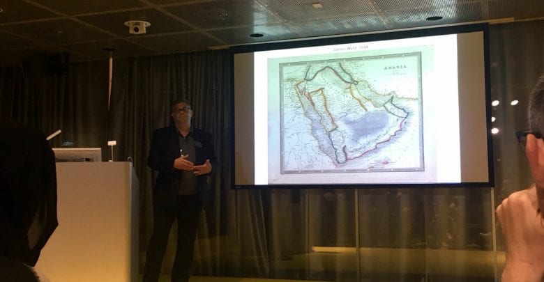
DOHA: Qatar National Library (QNL) organised a lecture on historical maps that included the geographical location of Qatar’s peninsula.
A number of researchers and historians participated in the lecture, which was held yesterday in the context of the events accompanying the celebration of the official opening of Qatar National Library.
The researches highlighted that Qatar has been a known place on maps for almost 2,000 years, but the peninsula itself was represented on some maps from 1548 to 1596, then disappeared completely until 1823.
In this lecture, QNL Information Services Librarian – Historical Maps Christopher Alario and QNL Director of Historical Research and Partnerships Dr. James Onley discussed how and why this happened.
UCL-Q archeologist and Gulf studies expert Dr. Robert Carter shed light on the information that can be learnt about early settlements in Qatar from these historical maps.
نظمت مكتبة قطر الوطنية، محاضرة حول الخرائط التاريخية التي ورد فيها الموقع الجغرافي لشبه جزيرة قطر، شارك فيها عدد من الباحثين والمؤرخين.
وتأتي هذه المحاضرة التي نظمت الليلة الماضية، في سياق الفعاليات المصاحبة للاحتفال بالافتتاح الرسمي لمكتبة قطر الوطنية.
وأبرز الباحثون أن اسم قطر كمنطقة جغرافية، ورد على الخرائط لأكثر من ألفي عام، لكن المعالم الجغرافية الواضحة لها كشبه جزيرة رُسمت من عام 1548 حتى 1596، وبعدها ظهرت خرائط لم يرد فيها اسم قطر حتى عام 1823.
وفي هذا الصدد، ناقش السيد كريستوفر ألاريو، أخصائي الخرائط التاريخية بمكتبة قطر الوطنية، والدكتور جيمز أونلي، مدير شؤون الأبحاث التاريخية والشراكات بمكتبة قطر الوطنية، العوامل والأسباب وراء عدم ظهور اسم قطر على الخرائط التاريخية لفترة زمنية معينة.. أما الدكتور غورتر، متخصص في الآثار ومؤرخ، فألقى الضوء على المعلومات التي يُمكن استخلاصها حول المناطق العمرانية القديمة في قطر من خلال الخرائط التاريخية.
وأشار ألاريو، إلى أن المكتبة التراثية بمكتبة قطر الوطنية، تحتوي على قسم مُميز خاص بالخرائط والمخططات والأطالس، إذ يحتوي هذا القسم على ما يزيد عن 1،200 خريطة ورقية والعديد من الأطالس يعود تاريخها إلى الفترة من نهايات القرن الخامس عشر وحتى منتصف القرن العشرين.
وأطلع أخصائي الخرائط التاريخية بمكتبة قطر الوطنية، الحضور، على عدد كبير من الخرائط التي تم فيها ذكر قطر، لرسامي خرائط مشهورين.


